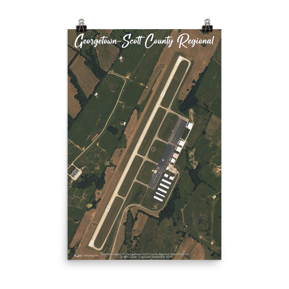
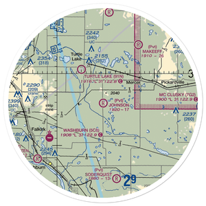
Appreciate the clarity from this detailed satellite view of Kentucky's Georgetown-Scott County Regional Airport (K27K).
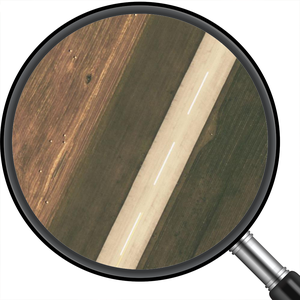
This high-resolution satellite image was captured on September 2019 and is reproduced for you at a breathtaking 1:37,000 scale. Notice the accurate color reproduction and stunning detail showcasing runway markings and airport facilities.
This reproduction comes from a digitally enhanced image captured at a 5250x7863 resolution -- this comes out to 42 megapixels which well exceeds the capabilities from even the most advanced portraits available on the latest iPhone or DSLR cameras and is at least 6 times the clarity of a new 4K HDTV.
The satellite image looks nothing like what you might see from Google Maps or a similar satellite view where images are compressed leaving behind artifacts or worse yet are transformed into vector-based cartoon-like renderings.
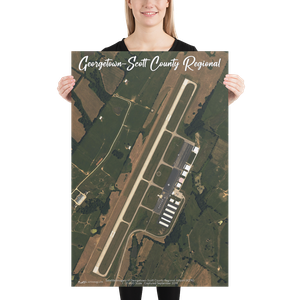
Take note that these lower-resolution mockup images do not represent the actual image quality on the high-resolution reproductions delivered with your order.
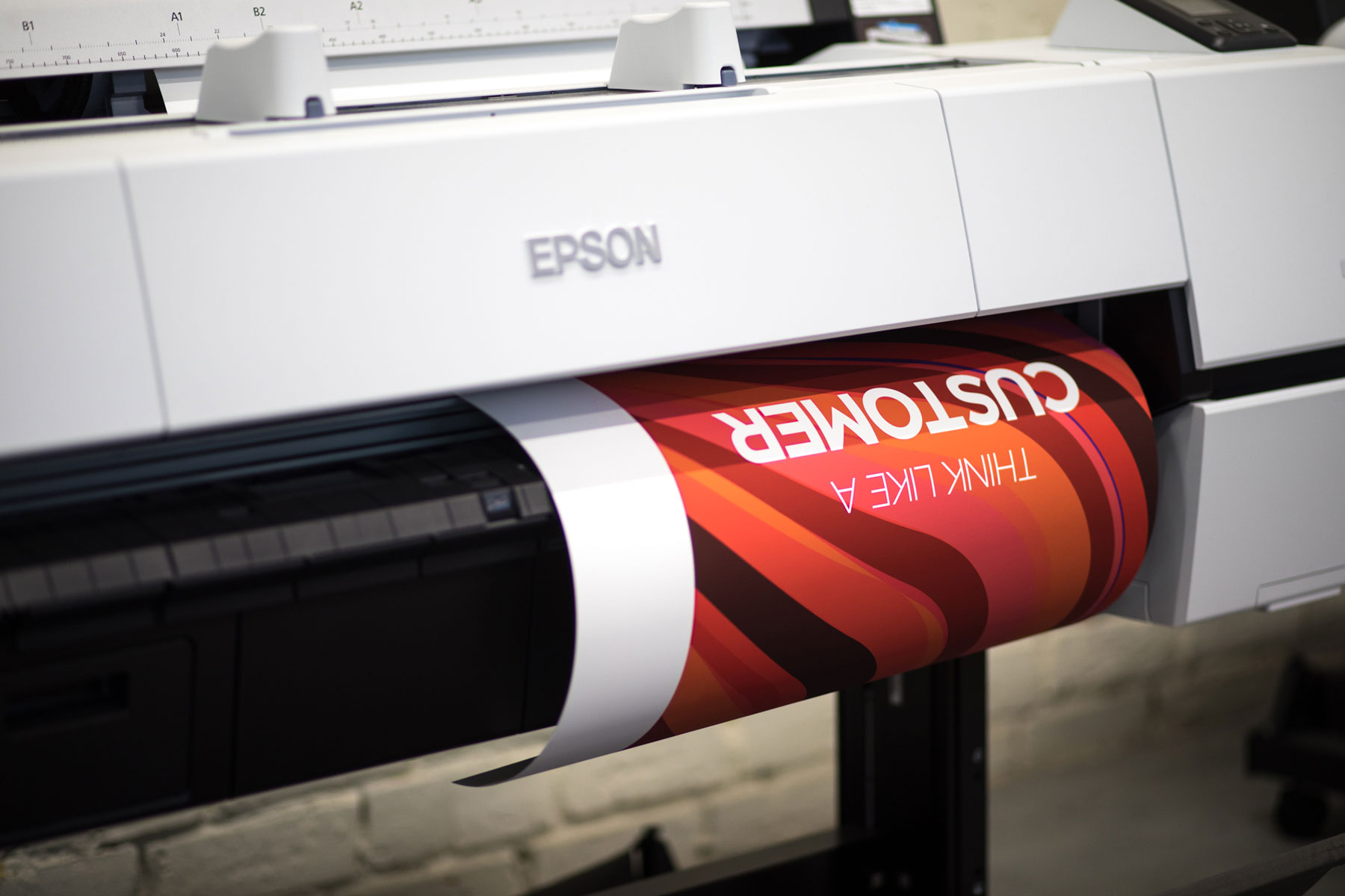
Museum-quality posters made on thick and durable matte paper. Each poster is giclée-printed on archival, acid-free paper that yields brilliant prints to brighten up any room.
- Paper thickness: 10.3 mil
- Paper weight: 5.57 oz/yd² (189 g/m²)
- Giclée printing quality
- Opacity: 94%
- ISO brightness: 104%
- Blank product sourced from Japan


Keith R
January 12, 202r1This is a matte poster on a very heavy weight paper. The details easily pop out and there is zero glare so everything is visible with its true color.

Lindsay K
January 2, 2021These are good posters - they're a nice heavy paper and have accurate, crisp print quality.

Connitta H
December 2, 2020Posters turned out wonderfully! Colors are vivid and I just love they way they look!.
